

Hiking Trails
Hiking Trails
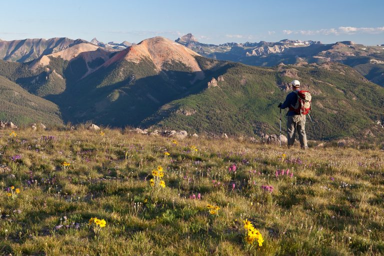
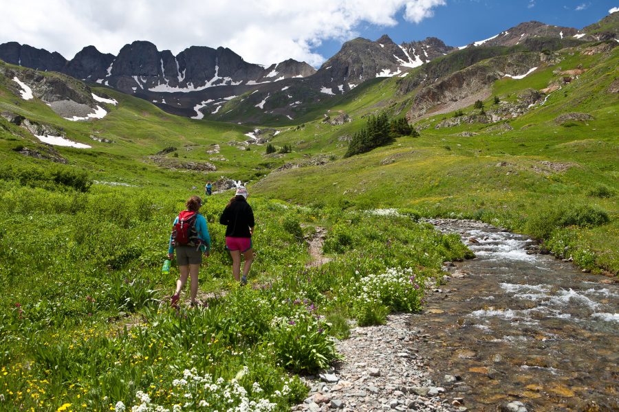
One of the benefits of being in the most remote county in the lower 48 with 96 percent public lands is that it takes only a few miles by foot or hoof and minutes by bicycle to leave civilization behind. Hinsdale County offers seemingly endless miles of trails, 19 public campgrounds, five fourteeners, and over 20 thirteeners. Hikers and backpackers have a vast amount of options in three National Forests, one BLM district, four national wilderness areas, and two wilderness study areas, all of which have several access points within miles of Lake City. Hinsdale County does not limit itself to just hikers. There are trails open to horses and mountain bikes in addition to hikers.
Please note: trail maps are available at the Visitor Center and a number of local stores. Please remember to stay on marked trails and that mountain bikes are not allowed in wilderness areas.
Easy to Moderate Trails
Big Blue Creek
Length: 12 miles. Season of use: June through October. Amount of Use: Light horse use; light hiking. Total Elevation Gain: 1,800 ft.
Powderhorn Lakes
Length: 4 miles to Lower Powderhorn Lake; 4.5 miles to Upper Powderhorn Lake. Season of use: Mid-June through October. Amount of Use: light hiking, backpacking, and horse use. Total Elevation Gain: 660 ft.
Powderhorn Park
Length: 6.3 miles to Robbers Roost. Season of use: Mid-June through October. Amount of Use: Light hiking and horse use, moderate during hunting season. Total Elevation Gain: 1,730 ft.
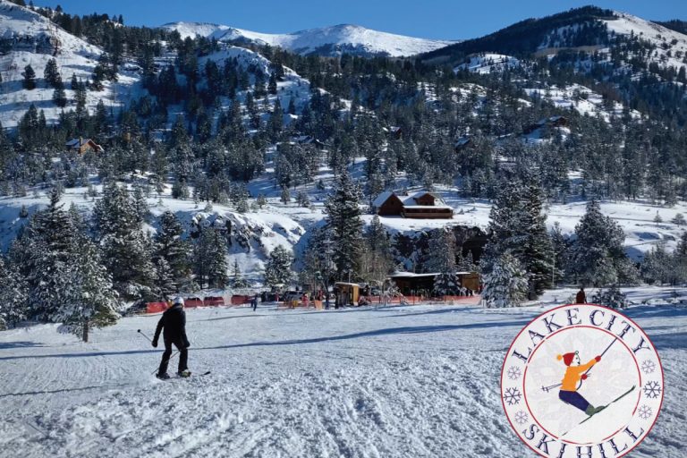
Ski Hill to Lake Trail
Length: 1.6 miles. Season of use: Mid-June through October. Amount of Use: Light hiking. Total Elevation Gain: 800 ft.
Weminuche Pass to Continental Divide
Length: 4.5 miles. Season of use: Mid-June through October. Amount of Use: Light hiking and horse use, moderate during hunting season. Total Elevation Gain: 1,900 ft.
Moderate to Difficult Trails
American Basin to Handies Peak (14,048’)
Length: From the Trailhead it is 1.3 miles to Sloan Lake; 1 mile further to Handies Peak. Add another .9 mile if you start walking from the Alpine Loop Turnoff. Season of use: July through October. Amount of Use: Moderate hiking; moderate jeep/ATV traffic along the road to the trailhead. Total Elevation Gain: 2,448 ft.
Camp Trail
Length: 5 miles to the Continental Divide. Season of use: July through October. Amount of Use: Light horse use; moderate hiking. Total Elevation Gain: 2,600 ft.
Canon Infierno
Length: 6 miles. Season of use: July through October. Amount of Use: Light horse use; light hiking. Total Elevation Gain: 1,780 ft.
Cataract Gulch
Length: 4.1 miles to the Continental Divide. Season of use: July through October. Amount of Use: Moderate hiking. Total Elevation Gain: 2,570 ft.
Cooper Creek
Length: 3.7 miles to Cooper Lake. Season of use: July through October. Amount of Use: Light hiking. Total Elevation Gain: 2,190 ft.
Cottonwood Creek
Length: 4.1 miles to switchback; trail continues for about 2 more miles. Season of use: June through October. Amount of Use: Light jeep/ATV traffic, light walking, mountain biking. Total Elevation Gain: 1,370 ft. to switchback; 3,000 ft. to Upper Snare Basin.
Crystal Lake
Length: 4 miles to Crystal Lake. Season of use: July through October. Amount of Use: Light horse use; light hiking. Total Elevation Gain: 3,000 ft.
Cuba Gulch
Length: 3.25 miles to the Continental Divide. Season of use: June through October. Amount of Use: Light horse use; light hiking. Total Elevation Gain: 2,020 ft.
Devil’s Creek
Length: 6.8 miles to Devil’s Lake. Season of use: Mid-June through October. Amount of Use: Light hiking/horse use; moderate during hunting season. Total Elevation Gain: 3,520 ft.
Independence Gulch Trail
Length: 2.25 miles to Little Elk Trail. Season of use: July through October. Amount of Use: Light horse use; light hiking. Total Elevation Gain: 1,700 ft.
Larson Lakes
Length: 4.75 miles. Season of use: July through October. Amount of Use: Light horse use; light hiking. Total Elevation Gain: 2,200 ft.
Round Top Road
Length: 5 miles. Season of use: July through October. Amount of Use: Light horse use; light hiking, moderate jeep/ATV traffic. Total Elevation Gain: 2,800 ft.
Waterdog Lake
Length: 3.8 miles to Waterdog Lake. Season of use: Mid-June through October. Amount of Use: Light hiking, horseback, and mountain biking. Total Elevation Gain: 2,500 ft.
Difficult Trails
Alpine Gulch
Length: 6 miles. Season of use: July through October. Amount of Use: Light horse use; moderate hiking. Total Elevation Gain: 3,480 ft.
Alpine Loop
Length: 54 miles. Season of use: July through October. Amount of Use: Heavy jeep/ATV traffic, light horse use, light hiking. Total Elevation Gain: 4,000 ft.
Cannibal Plateau
Length: 3 miles to Meso Seco. Season of use: July through October. Amount of Use: Light horse use; light hiking; light ATV traffic. Total Elevation Gain: 1,400 ft.
Grizzly Gulch to Handies Peak (14,048’)
Length: 4.2 miles to Handies Peak. Season of use: July through October. Amount of Use: Moderate hiking; light horseback. Total Elevation Gain: 3,623 ft.
Matterhorn Basin to Wetterhorn Peak (14,015’)
Length: 3.5 miles. Season of use: July through October. Amount of Use: Light horse use; light to moderate hiking. Total Elevation Gain: 3,300 ft.
Matterhorn Creek to Matterhorn Peak (13,590’)
Length: 3.3 miles. Season of use: July through October. Amount of Use: Light hiking. Total Elevation Gain: 2,790 ft.
Nellie Creek to Uncompahgre Peak (14,309’)
Length: 3.75 miles. Season of use: July through October. Amount of Use: Light horse use; Moderate hiking. Total Elevation Gain: 3,000 ft.
Silver Creek to Redcloud Peak (14,034’) & Sunshine Peak (14,001’)
Length: 5.7 miles to Sunshine Peak. Season of use: July through October. Amount of Use: Moderate hiking. Total Elevation Gain: 3,609 ft.
Stewart Creek to San Luis Peak (14,014’)
Length: 6 miles. Season of use: July through October. Amount of Use: Light horse use; light hiking. Total Elevation Gain: 3,600 ft.
Wager Gulch
Length: 3.4 miles to Carson town site (now private property); 4.8 miles to the Continental Divide. Season of use: July through October. Amount of Use: Moderate jeep/ATV use, light hiking, mountain biking. Total Elevation Gain: 3,100 ft.
Williams Creek
Length: 7.5 miles. Season of use: June through October. Amount of Use: Light horse use; light hiking Total Elevation Gain: 3,295 ft.
Additional links for hiking information:
www.14ers.com includes photos and regular blog updates from hikers.